Sea kayaking Great & Little Cumbrae
Saturday 22nd March 2026
Five sea paddlers headed to the village of Largs with a plan to cross over to Great Cumbrae (GC) and Little Cumbrae (LC). As I’m still gaining sea experience and the rest of the group had paddled this route before, it was all new to me—and boy, was I in for a treat!
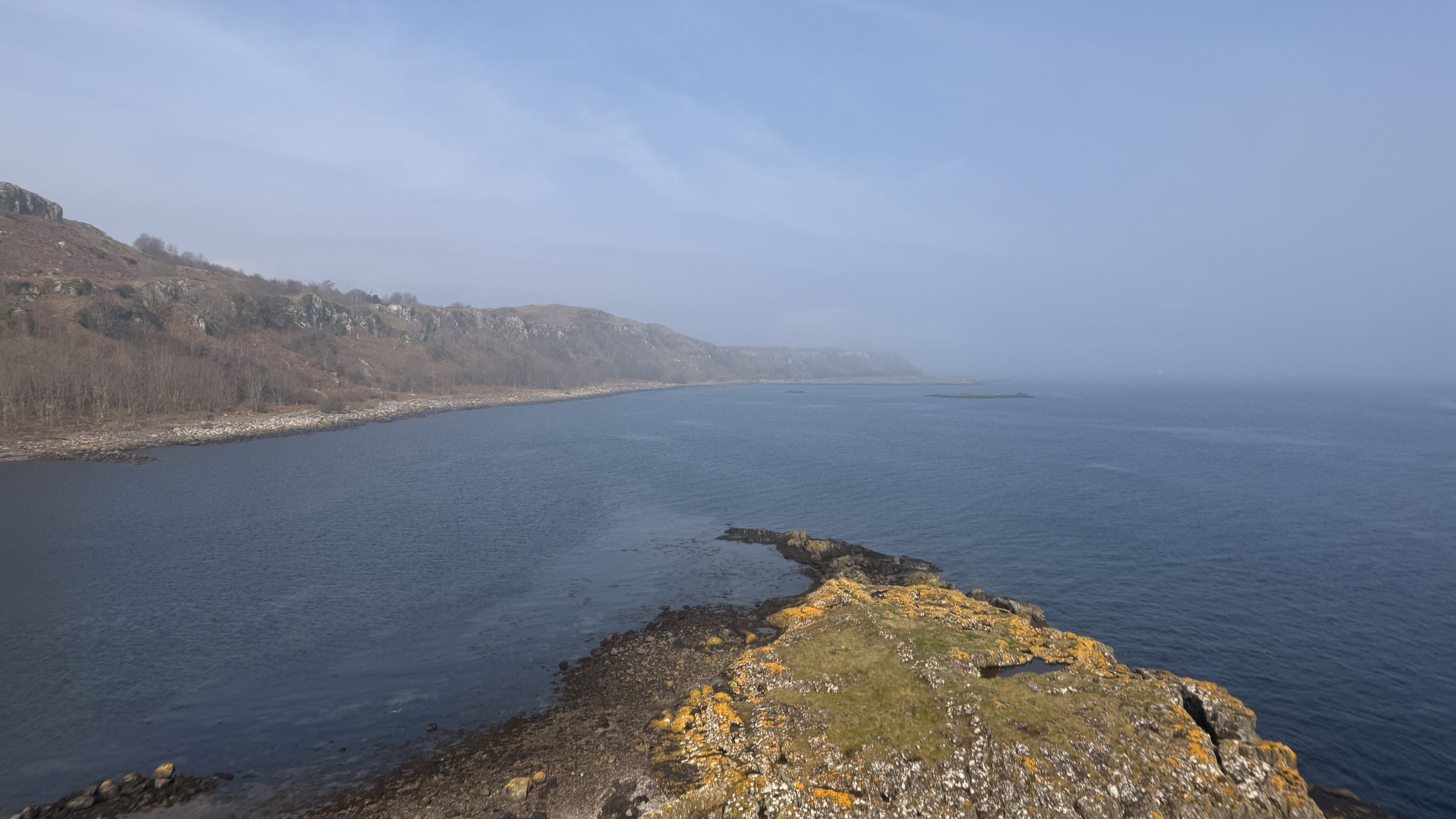
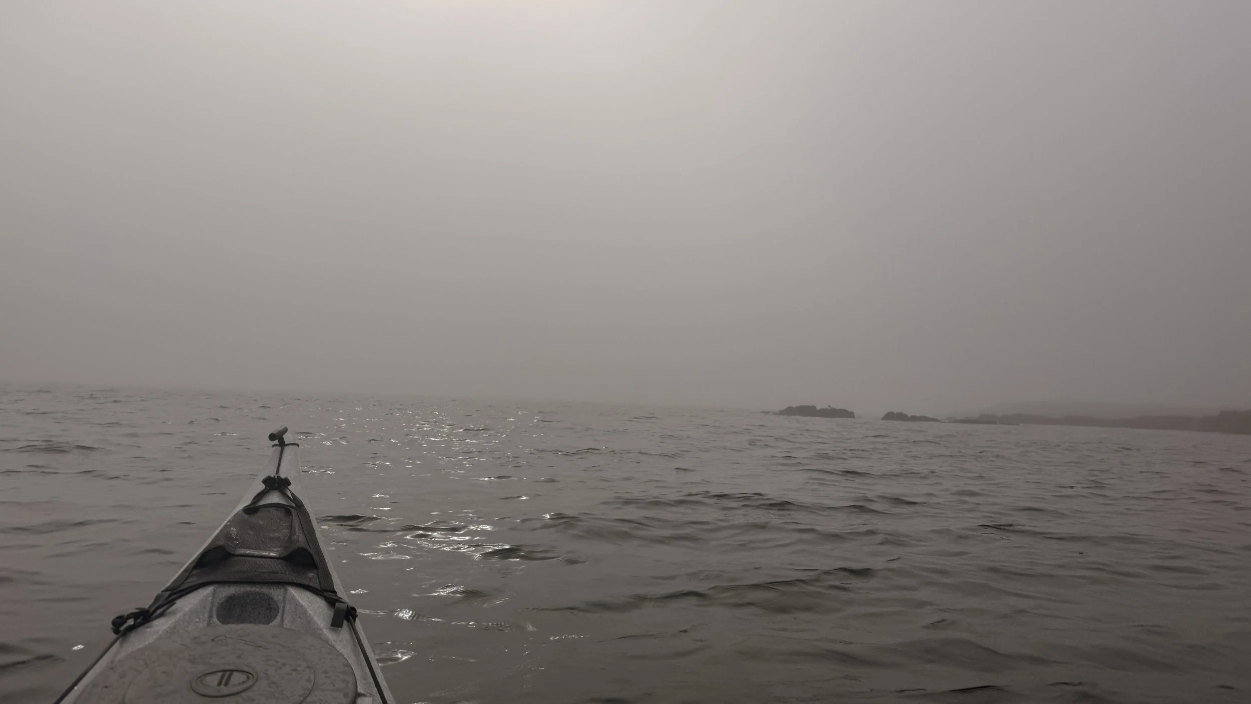
After the kit check and safety brief, we opted for a diagonal crossing from Largs toward GC. The crossing took us to Butter Lump, east of LC (Grid NS 182 555). A lingering mist kept visibility around 1-2km, with a steady Force 1-2 wind that stayed with us most of the day. We "handrailed" the coast past Lion Rock—though I personally couldn’t see the resemblance!—and continued to Farland Point, the southeast tip of GC.
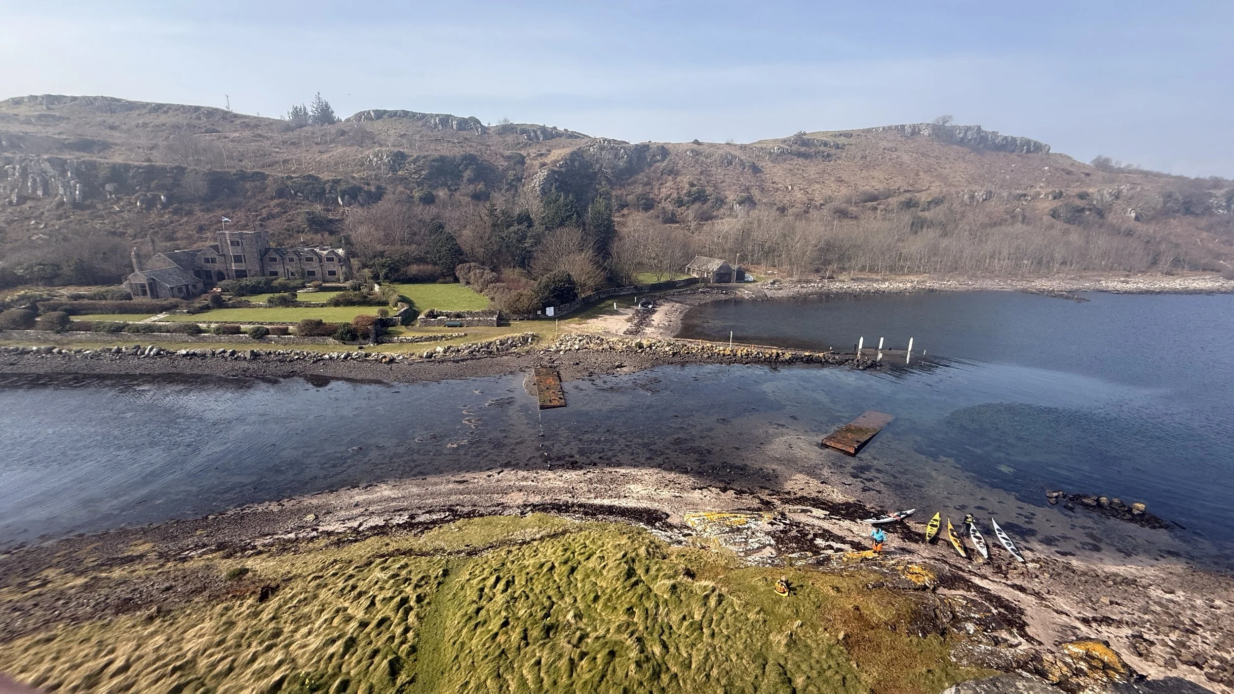
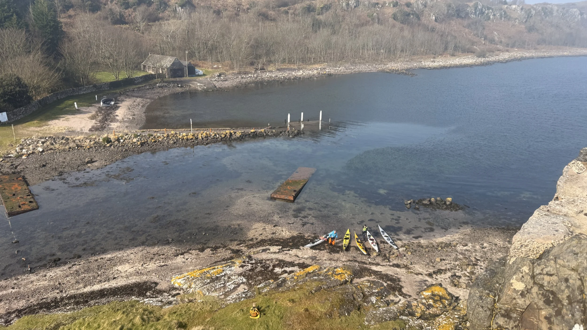
Through the low visibility, we could just make out the silhouette of Little Cumbrae about 1.5km away. Before we knew it, we arrived at Gull Rock and paddled onto Castle Island for a leg stretch. The 16th-century Little Cumbrae Castle is a classic tower house, originally built by the Hunters of Hunterston around 1560 as a defensive lookout. Despite being burned by Cromwell’s forces in 1650, the exterior is remarkably well-preserved thanks to recent private restoration. We were even able to access the spiral staircase and climb to the very top!
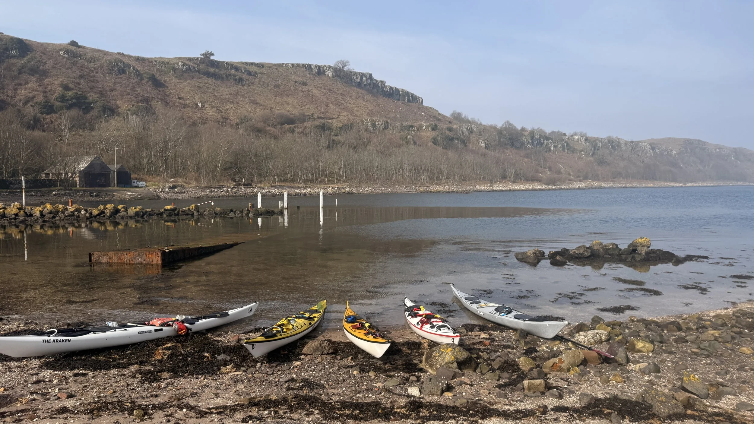
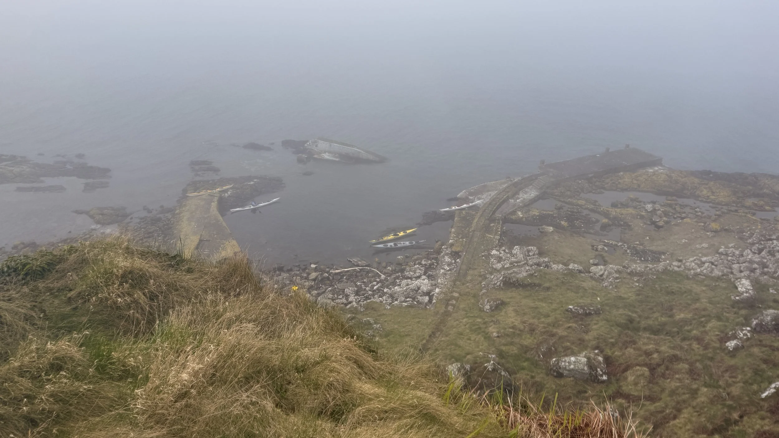
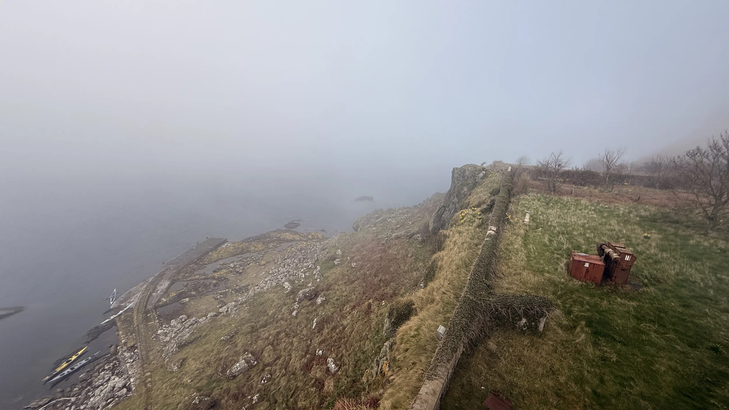
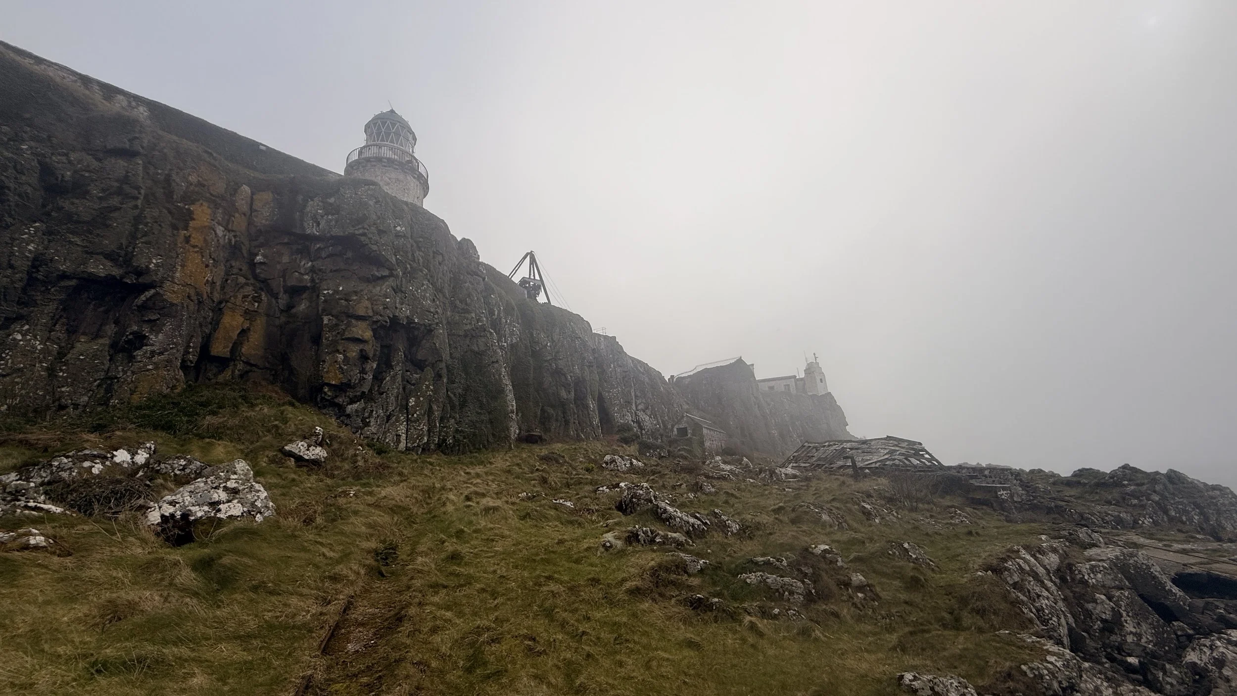
After lunch under a sun that desperately tried (and failed) to break the mist, we continued to Cumbrae Elbow, where the derelict lighthouse is. I could have said it was where the old lighthouse was, but the Old Lighthouse, the original, (Grid NS 143 514), was built in 1757 and was located at the highpoint on the island. The Old Lighthouse is a circular stone tower was an open coal fire in an iron grate, fuelled by tons of coal carried up the hillside. Eventually, the coal fire proved unreliable (often obscured by clouds. Today, the Old Lighthouse stands as a silent, monument, offering some of the best panoramic views of the Clyde to anyone willing to make the hike up from the shore, not that we walked to it, and could see them.
The Lighthouse we went to (NS 137 515) was built 1793, it had 32 oil lamps. It was decommissioned in 1997. There now stands a very underwhelming automated light, which is solar powered. We took about an hour just walking round the old buildings taking in the derelict structures. It was something else.
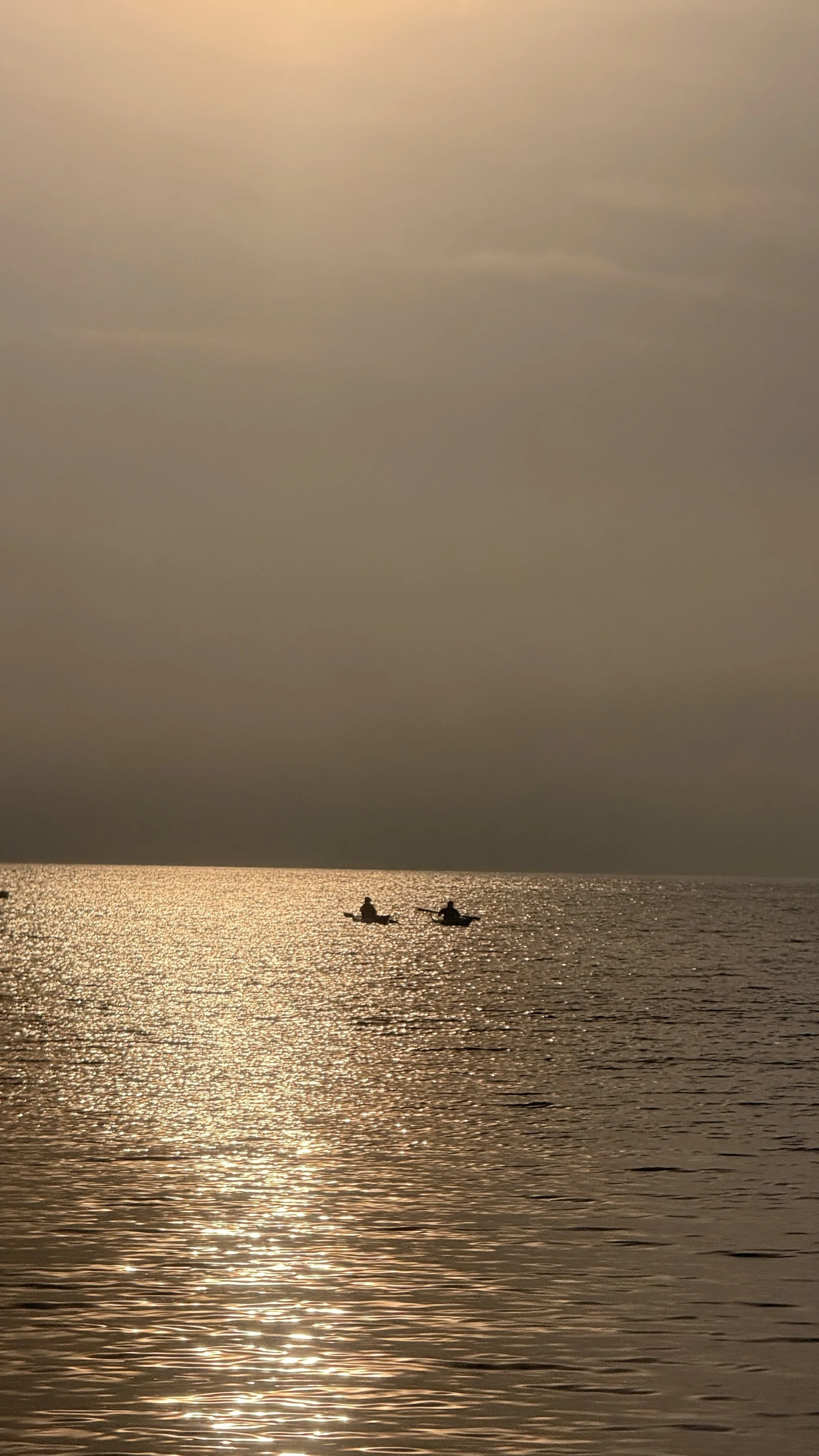
Back on the water, we reached the northern tip of LC at Sheanawally Point. With visibility dropping further, we took a compass bearing of 0° (North) to head back toward Millport. As LC faded into the mist, a passing motorboat checked in to see if we were okay—a kind gesture, though we were confident in the map-reading skills of our leaders!
About 30 minutes later, the silhouette of Great Cumbrae finally broke through the fog. We stopped in Millport Bay for a final leg stretch before the final stretch back to Largs. We didn’t make it all the way around Great Cumbrae this time, but that’s a treat saved for another day.
It was a great trip for me. I’ll be back to do more exploring of Little Cumbrae Island, that’s for sure.